Hand-Drawn Pirate Treasure Maps: Tea-Stained Cartography
Teach cartographic map keys, compass roses, and terrain surveying by drawing vintage tea-stained garden maps.
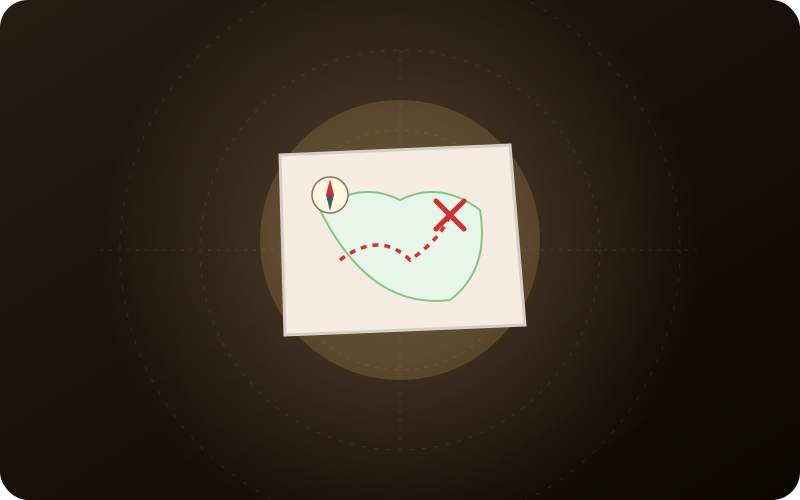
Cartographic Representation & Scale Ratio
Scientific Insight
Maps are bird’s-eye 2D symbolic representations of 3D physical spaces. Understanding scale bars teaches mathematical ratios and spatial abstraction.
Ecological Value
Deepens appreciation for geographic landscapes, topographic elevations, and land features.
Developmental Skills & Physical Milestones
Bird’s-Eye Aerial Perspective
Visualizing how a 3D tree or picnic table looks when viewed straight down from above.
Map Key Legend Development
Assigning standardized symbols (triangle = tent, wavy lines = pond, X = buried treasure).
Spatial Proportion & Layout
Estimating relative distances between perimeter fences, patios, and distant garden corners.
Gather materials from nature, your recycling bin, or household kitchen supplies before heading outdoors.
- Heavy white cardstock or watercolor paper
- Brewed black tea bag or instant coffee grounds (for aging patina)
- Fine-tip black waterproof ink pens and brown calligraphy markers
- Colored pencils (moss green, ocean blue, terra cotta)
- Ruler for scale bars and compass roses
Step-by-Step Play Blueprint
Follow these 5 guided steps. Let your child take the lead in modifying and experimenting with the rules as play unfolds.
Survey the Backyard from High Ground
Stand on a porch step or look out a second-story window with a clipboard. Sketch the outer boundary fence lines and major permanent landscape anchors.
Age the Paper with Warm Black Tea Wash
Crumple paper into a ball, smooth it out, and brush steeped black tea over both sides. The tea pools in the creases, creating realistic centuries-old parchment cracks!
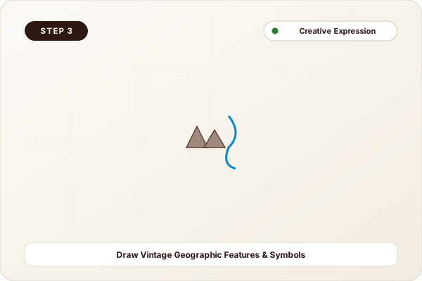
Draw Vintage Geographic Features & Symbols
Draw trees with hand-drawn leafy crowns, wavy blue lines for the birdbath or garden hose, and jagged contour lines for garden rockeries.
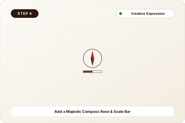
Add a Majestic Compass Rose & Scale Bar
In the top corner, draw an 8-point compass rose labeled North, South, East, West. Add a map legend key at the bottom defining all icons used.
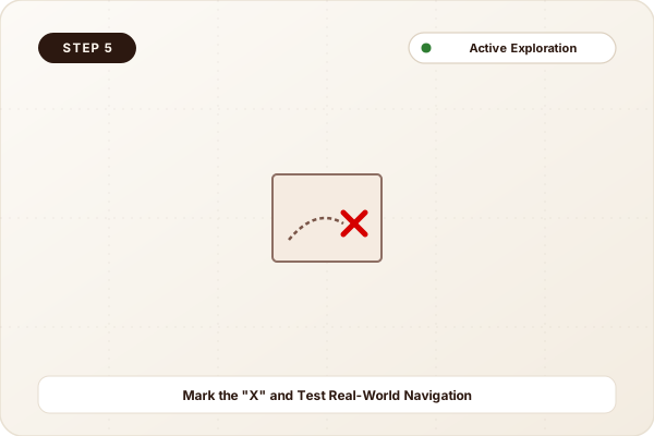
Mark the "X" and Test Real-World Navigation
Mark a bold red X where a secret treasure is hidden. Roll the map into a scroll, tie with hemp twine, and hand it to a sibling to see if they can navigate to the spot!
Do not use open lighters or flames to singe map edges; tearing paper by hand produces the same aged look safely.
Fostering Autonomy & Calculated Risk
Mapmaking is a cornerstone Waldorf and Montessori geography exercise. Translating real 3D space onto 2D paper is a monumental developmental milestone.
More Outdoor & Garden Activities
View All 65
Clue-Based Backyard Treasure Hunts: Cryptic Riddles & Caches
Imaginative Pirate Adventure Play: Ships, Planks & Eyepatches